Log in
All resources
Create a design
561 Free Artworks of Maps Of Italy
bibliothèque nationale de france
pompeiana - the topography, edifices, and ornaments of pompeii (1817)
carte generale du tres-haut, tres-puissant et tres chrestien royaume de france
pompeii in art (realistic)
pompeii in art - wall paintings
ancient roman frescos of pompeii
maps in the rijksmuseum amsterdam
house of sallust
maps of bologna by braun & hogenberg
pompeii in art - imaginative reconstructions
maps of brixen by braun & hogenberg
bibliothèque nationale de france
torri e castelli e case forti del piemonte dal 1000 al secolo xvi. il novarese
maps of arona (italy)
la terra, trattato popolare di geografia universale per g. marinelli ed altri scienziati italiani, etc.
women of the world from the british library mechanical curator collection
1650s maps of italy
geographia blaviana
voyage en italie, en sicile et à malte (1778)
maps in the rijksmuseum amsterdam
bibliothèque nationale de france
guillaume sanson
maps of bologna by braun & hogenberg
bibliothèque nationale de france
maps of bologna by braun & hogenberg
bibliothèque nationale de france
map of the circle of franconia by sanson
bibliothèque nationale de france
maps of ports and fortresses of the mediterranean by marco boschini (1651)
bibliothèque nationale de france
maps by nicolas sanson
1720s maps of france
prints by caspar luyken in the rijksmuseum amsterdam
maps in the rijksmuseum amsterdam
prints by frans hogenberg in the rijksmuseum amsterdam
maps in the rijksmuseum amsterdam
maps of agnano and grotta del cane by braun & hogenberg
bibliothèque nationale de france
maps of the siege of cazal (1630)
baroque
travels on the continent, sicily, and the lipari islands (1829)
floor plans of italy
maps of bologna by braun & hogenberg
bibliothèque nationale de france
le royaume de france distingué by guillaume sanson
1689 maps of france
maps of agnano and grotta del cane by braun & hogenberg
context files from gallica
maps of bologna by braun & hogenberg
bibliothèque nationale de france
maps of agnano and grotta del cane by braun & hogenberg
context files from gallica
sphinxes in art
1726 fleurons
bibliothèque nationale de france
prints by ambrogio brambilla
old maps of valletta
joan blaeu
le royaume de france distingué by guillaume sanson
1708 maps of france
maps of ports and fortresses of the mediterranean by marco boschini (1651)
bibliothèque nationale de france
atlas géographique des quatre parties du monde (delisle)
map of italy by guillaume delisle (1700)
prints in the royal collection of the united kingdom
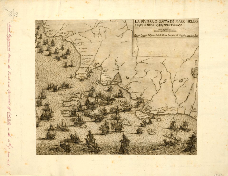
françois collignon
bibliothèque nationale de france
ambroise tardieu
maps in the rijksmuseum amsterdam
the illustrated bartsch 61
maps of campi flegrei by braun & hogenberg
bibliothèque nationale de france
carte generale du tres-haut, tres-puissant et tres chrestien royaume de france
bibliothèque nationale de france
carte generale du tres-haut, tres-puissant et tres chrestien royaume de france
bibliothèque nationale de france
carte generale du tres-haut, tres-puissant et tres chrestien royaume de france
bibliothèque nationale de france
carte generale du tres-haut, tres-puissant et tres chrestien royaume de france
bibliothèque nationale de france
carte generale du tres-haut, tres-puissant et tres chrestien royaume de france
bibliothèque nationale de france
carte generale du tres-haut, tres-puissant et tres chrestien royaume de france
bibliothèque nationale de france
carte generale du tres-haut, tres-puissant et tres chrestien royaume de france
bibliothèque nationale de france
carte generale du tres-haut, tres-puissant et tres chrestien royaume de france
bibliothèque nationale de france
carte generale du tres-haut, tres-puissant et tres chrestien royaume de france
bibliothèque nationale de france
carte generale du tres-haut, tres-puissant et tres chrestien royaume de france
bibliothèque nationale de france
carte generale du tres-haut, tres-puissant et tres chrestien royaume de france
bibliothèque nationale de france
carte generale du tres-haut, tres-puissant et tres chrestien royaume de france
bibliothèque nationale de france
carte generale du tres-haut, tres-puissant et tres chrestien royaume de france
bibliothèque nationale de france
carte generale du tres-haut, tres-puissant et tres chrestien royaume de france
bibliothèque nationale de france
carte generale du tres-haut, tres-puissant et tres chrestien royaume de france
bibliothèque nationale de france
carte generale du tres-haut, tres-puissant et tres chrestien royaume de france
bibliothèque nationale de france
carte generale du tres-haut, tres-puissant et tres chrestien royaume de france
bibliothèque nationale de france
carte generale du tres-haut, tres-puissant et tres chrestien royaume de france
bibliothèque nationale de france
carte generale du tres-haut, tres-puissant et tres chrestien royaume de france
bibliothèque nationale de france
carte generale du tres-haut, tres-puissant et tres chrestien royaume de france
bibliothèque nationale de france
carte generale du tres-haut, tres-puissant et tres chrestien royaume de france
bibliothèque nationale de france
carte generale du tres-haut, tres-puissant et tres chrestien royaume de france
bibliothèque nationale de france
carte generale du tres-haut, tres-puissant et tres chrestien royaume de france
bibliothèque nationale de france
carte generale du tres-haut, tres-puissant et tres chrestien royaume de france
bibliothèque nationale de france
carte generale du tres-haut, tres-puissant et tres chrestien royaume de france
bibliothèque nationale de france
maps of campi flegrei by braun & hogenberg
context files from gallica
pompeiana - the topography, edifices, and ornaments of pompeii (1817)
maps of pompeii
the topography of rome and its vicinity (1846)
tabula peutingeriana places in modern italy
high renaissance
pirro ligorio
maps by willem and johannes blaeu
old maps of valletta
maps of ports and fortresses of the mediterranean by marco boschini (1651)
bibliothèque nationale de france
pompeiana - the topography, edifices, and ornaments of pompeii (1817)
maps of pompeii
pompeiana - the topography, edifices, and ornaments of pompeii (1817)
maps of pompeii
old maps of bologna
gregorio monari
maps of ancient rome by braun & hogenberg
high renaissance
prints by stefano della bella in the rijksmuseum amsterdam
baroque
pompeiana - the topography, edifices, and ornaments of pompeii (1817)
house of sallustius (pompeii)
map of europe by guillaume delisle (1700)
university of washington
civitates orbis terrarum. contrafactur und beschreibung von den vornembsten stetten der welt. liber tertius
maps of tivoli (italy) by braun & hogenberg
prints published by giovanni giacomo de'rossi in the rijksmuseum amsterdam
prints by matthäus greuter in the rijksmuseum amsterdam
pompeiana - the topography, edifices, and ornaments of pompeii (1817)
pompeii in art - wall paintings
pompeiana - the topography, edifices, and ornaments of pompeii (1817)
pompeii in art - wall paintings
pompeiana - the topography, edifices, and ornaments of pompeii (1817)
historical images of house of sallustius (pompeii)
pompeiana - the topography, edifices, and ornaments of pompeii (1817)
historical images of house of sallustius (pompeii)
pompeiana - the topography, edifices, and ornaments of pompeii (1817)
casa del chirurgo (pompeii)
pompeiana - the topography, edifices, and ornaments of pompeii (1817)
john le keux
pompeiana - the topography, edifices, and ornaments of pompeii (1817)
pompeii in art (realistic)
pompeiana - the topography, edifices, and ornaments of pompeii (1817)
temple of bacchus (pompeii)
pompeiana - the topography, edifices, and ornaments of pompeii (1817)
historical images of house of diomedes (pompeii)
pompeiana - the topography, edifices, and ornaments of pompeii (1817)
peristylia in art
pompeiana - the topography, edifices, and ornaments of pompeii (1817)
atriums in art
pompeiana - the topography, edifices, and ornaments of pompeii (1817)
rodwell & martin
pompeiana - the topography, edifices, and ornaments of pompeii (1817)
plans of house of sallustius (pompeii)
pompeiana - the topography, edifices, and ornaments of pompeii (1817)
pompeiana - the topography, edifices, and ornaments of pompeii (1817)
pompeiana - the topography, edifices, and ornaments of pompeii (1817)
pompeii in art (realistic)
pompeiana - the topography, edifices, and ornaments of pompeii (1817)
pompeii in art (realistic)
pompeiana - the topography, edifices, and ornaments of pompeii (1817)
historical images of theatre (pompeii)
pompeiana - the topography, edifices, and ornaments of pompeii (1817)
pompeii in art - wall paintings
pompeiana - the topography, edifices, and ornaments of pompeii (1817)
historical images of quadriportico of the theatre of pompeii
pompeiana - the topography, edifices, and ornaments of pompeii (1817)
pompeii in art - wall paintings
pompeiana - the topography, edifices, and ornaments of pompeii (1817)
pompeii in art - wall paintings
pompeiana - the topography, edifices, and ornaments of pompeii (1817)
pompeii in art - imaginative reconstructions
pompeiana - the topography, edifices, and ornaments of pompeii (1817)
historical images of theatre (pompeii)
pompeiana - the topography, edifices, and ornaments of pompeii (1817)
historical images of triangular forum (pompeii)
pompeiana - the topography, edifices, and ornaments of pompeii (1817)
pompeii in art - wall paintings
pompeiana - the topography, edifices, and ornaments of pompeii (1817)
pompeii in art - imaginative reconstructions
pompeiana - the topography, edifices, and ornaments of pompeii (1817)
towers in pompeii
pompeiana - the topography, edifices, and ornaments of pompeii (1817)
john pye
401 - 500 of 561
Next page
/ 6